At a Glance
The only all-in-one hunting tool.
Research, plan, scout, and gear up for any hunt you can dream of with Insider, for just $149 / year.
Advanced Filtering Tools
The ultimate way to find
your hunt
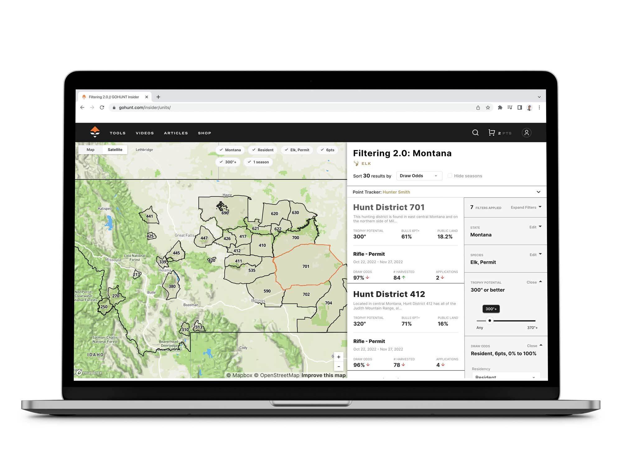
Our advanced filtering and search tools will help you find the state, species, season, and more for your best hunt. Stop relying on guides that only tell you about a few units and find the perfect hunt for you. It's like Zillow, for hunting. See it in action
Industry-Leading Draw Odds
Find your odds to draw a tag for every species, every season, and every state.
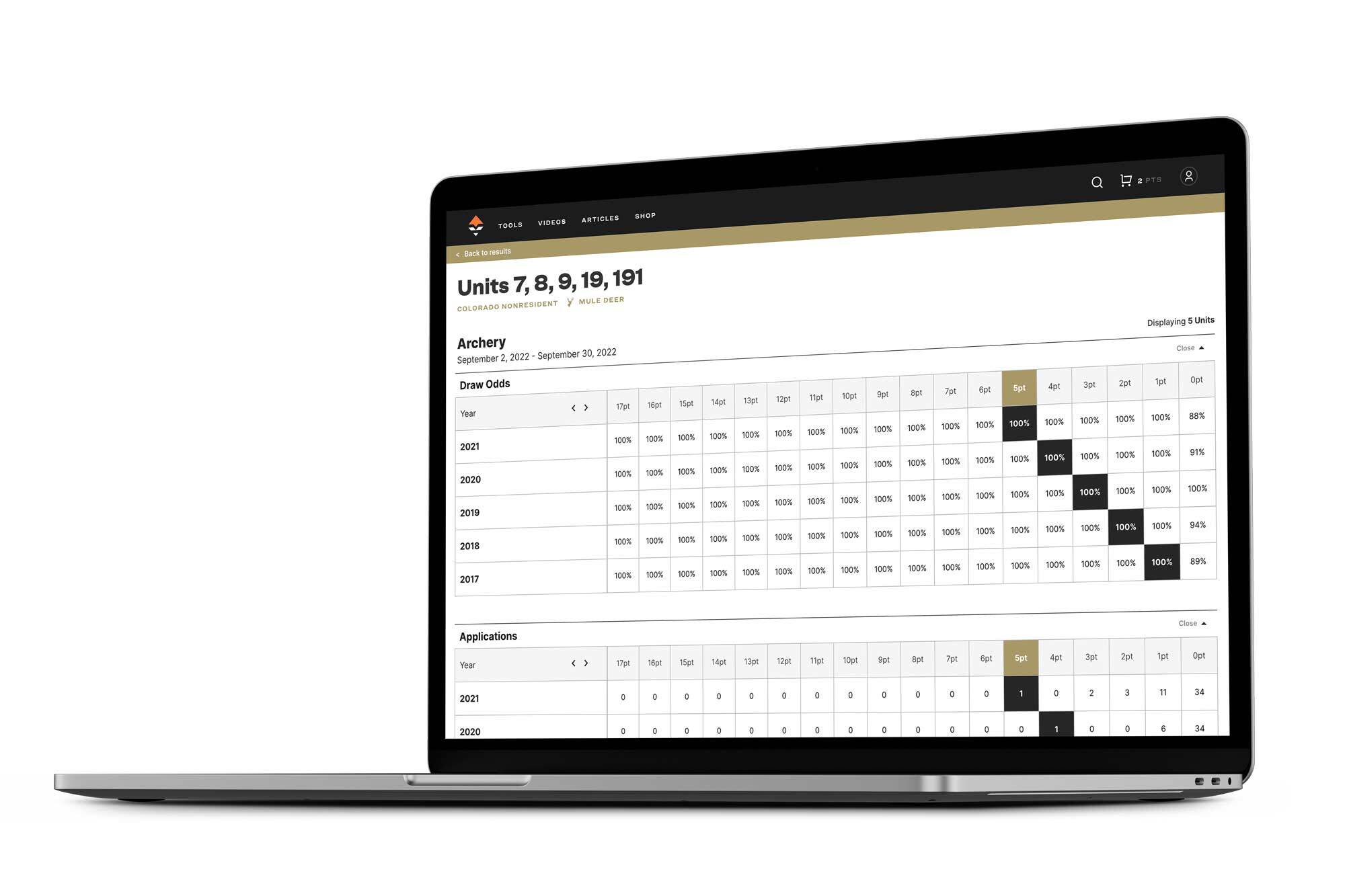
Driven by data science and updated every single year, our draw odds show you the best units you have a chance to draw a tag in. Whether you're planning a multi-year, multi-state strategy, or just trying to find a hunt you can go on this fall, our odds will give you the knowledge you need to succeed. Learn about what sets our odds apart
Tips & Tactics
Learn how diehard hunters succeed in the field.
Our team of experts is here to help you strategize, plan, and succeed on your next hunt.
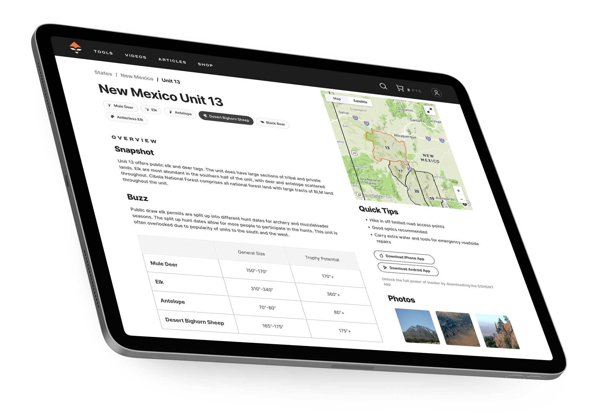
Unit Profiles
Boots-on-the-ground information for every unit in the west
We keep detailed historical data on every unit and species in the west, and our experts are continually adding new information and data so you can maximize your time in the field. Hunt smarter, not harder. See a sample profile
Western states include Alaska, Arizona, California, Colorado, Idaho, Kansas, Montana, Nevada, New Mexico, Oregon, Utah, Washington, and Wyoming.
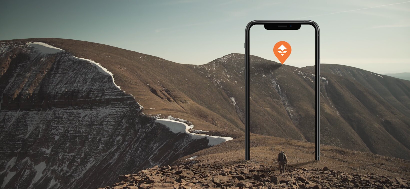
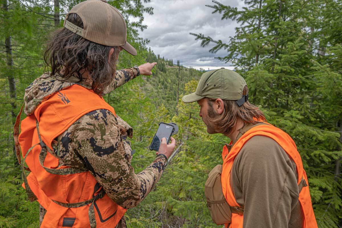
We're evolving hunting maps to solve the challenges you face in the field
When mobile mapping applications first came out in 2015, the main question was “Do you have public/private land?”. Seven years later, we can’t believe that’s still the main question—we’re here to move hunters past that. We want hunters to understand how innovation can change the way they use their tools in the field.
The Tools You Need
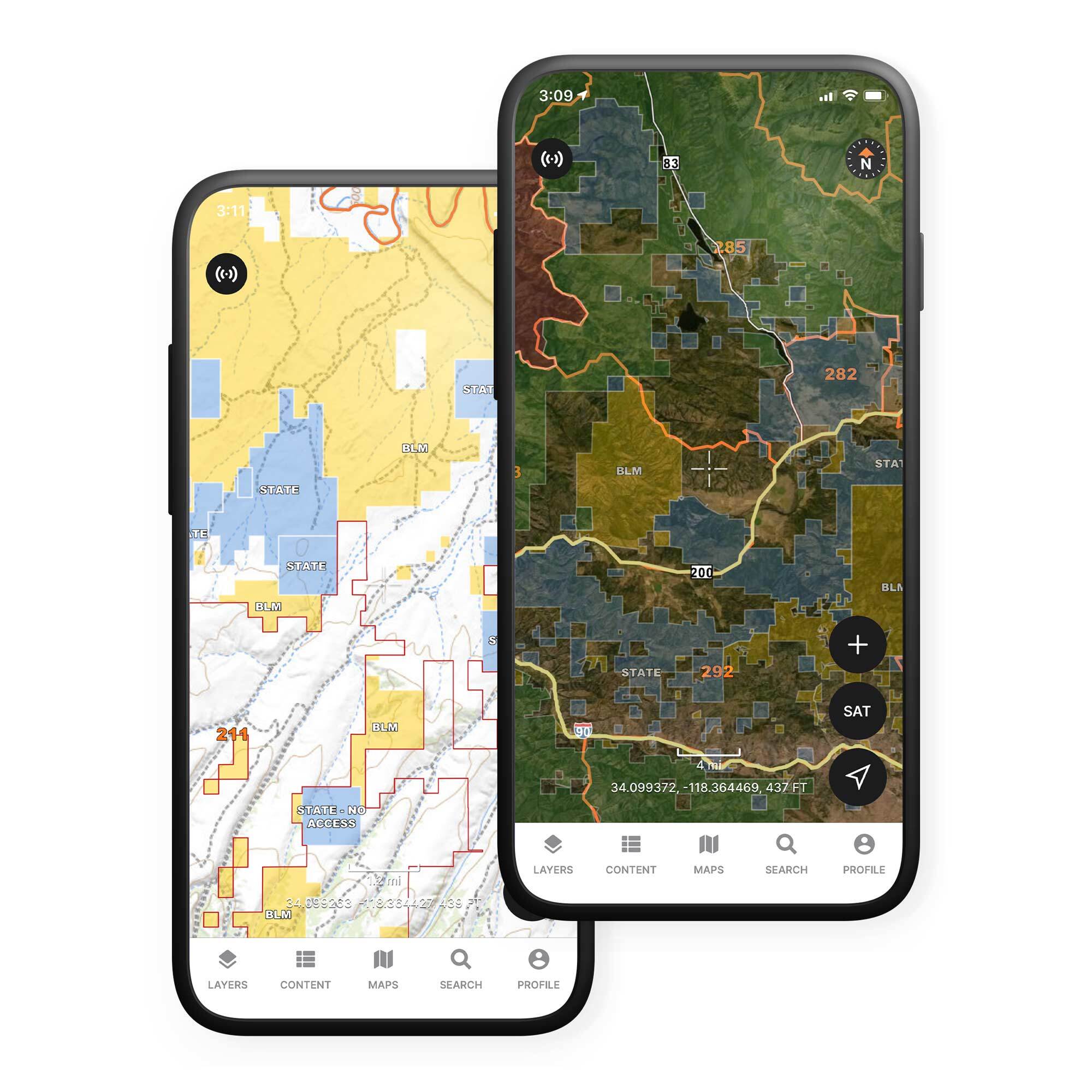
Land Boundaries
Of course we have them. We’ve compiled the most accurate, detailed land boundary maps for use at home or in the field. Public/private land, unit boundaries, park borders and more are all clearly outlined and ready for you to use.
All 50 States 6,500 Hunt Units 1.1 Million+ Acres of Land CoverageImmersive, Interactive 3D
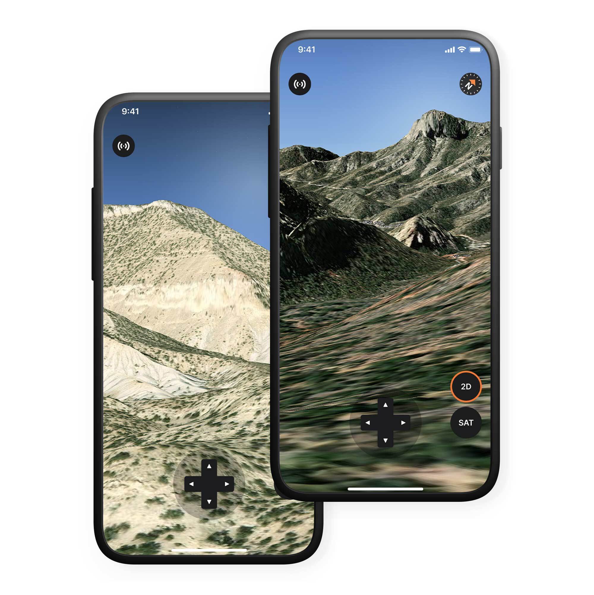
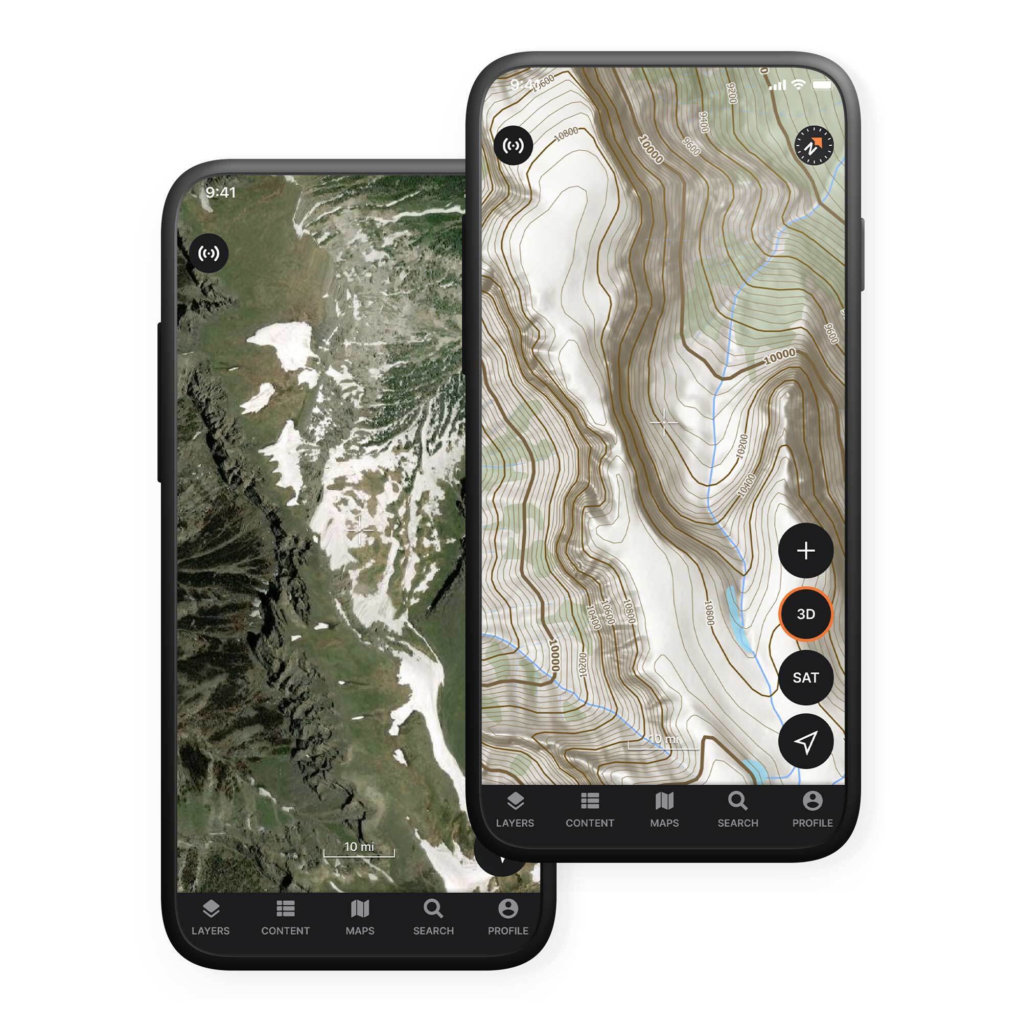
Change your e-scouting game and know the terrain before you put boots on the ground. This is real, interactive 3D—not a locked 45° tilt that claims to be ‘3D’. Pan, tilt, and zoom around any hunting unit and use our exclusive glassing mode to find the best spots to pick before you put boots on the ground.
Key Features
Find the perfect glassing spots before you get in the field
Satellite, topo, and hybrid maps all work in real 3D
3D can be key in the field, too—location data accurate up to 2 meters, all the time
View all the waypoints, tracks, and areas you set up on the 3D map
Detailed Hunt Layers, Tools, and Plans
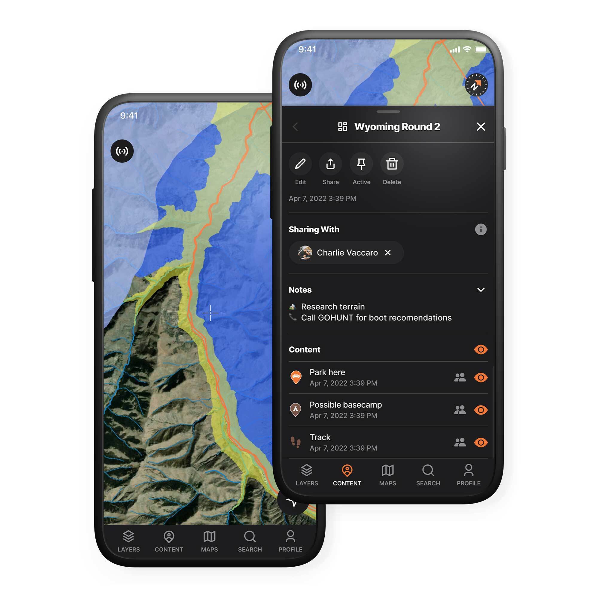
Powerful layer tools let you quickly and efficiently get the information you need in a clear, easily recognizable way. Land boundaries, tracks, access points, water, and more. Once you’ve narrowed down the layers you need, save your data into a hunt and easily access it from anywhere.
Key Features
Mark your key spots with photos and custom waypoints
Plan your path down to the yard, drop a breadcrumb trail while you’re in the field and stay on track on your hunts
Find the access points you need and plan where you get in and out
Plan with your buddies and make sure you all have the hunt of your lives
Custom Basemaps
Enhanced cartography and visualization for every detail you need for your hunt. Tree cover, contours, and more help you find the easiest, quickest, or best way in and out of your spots.
Offline Maps to Use in the Field
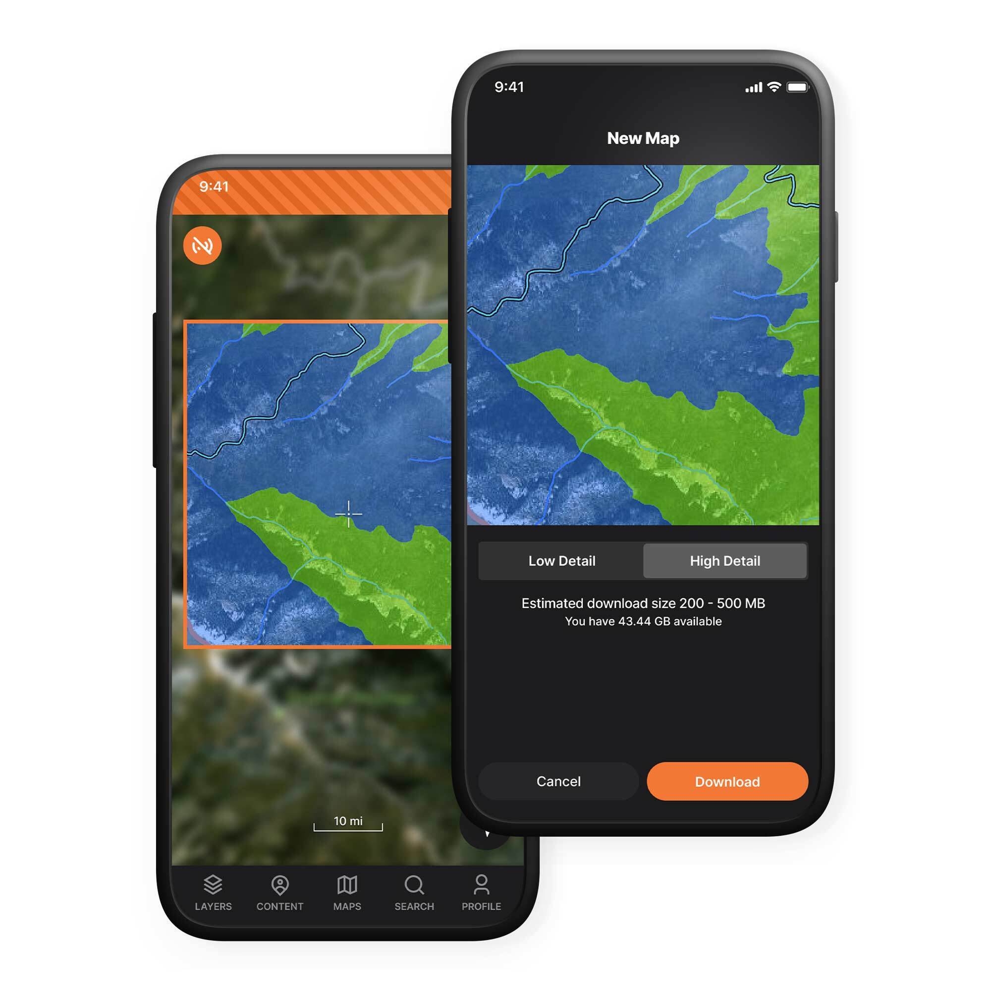
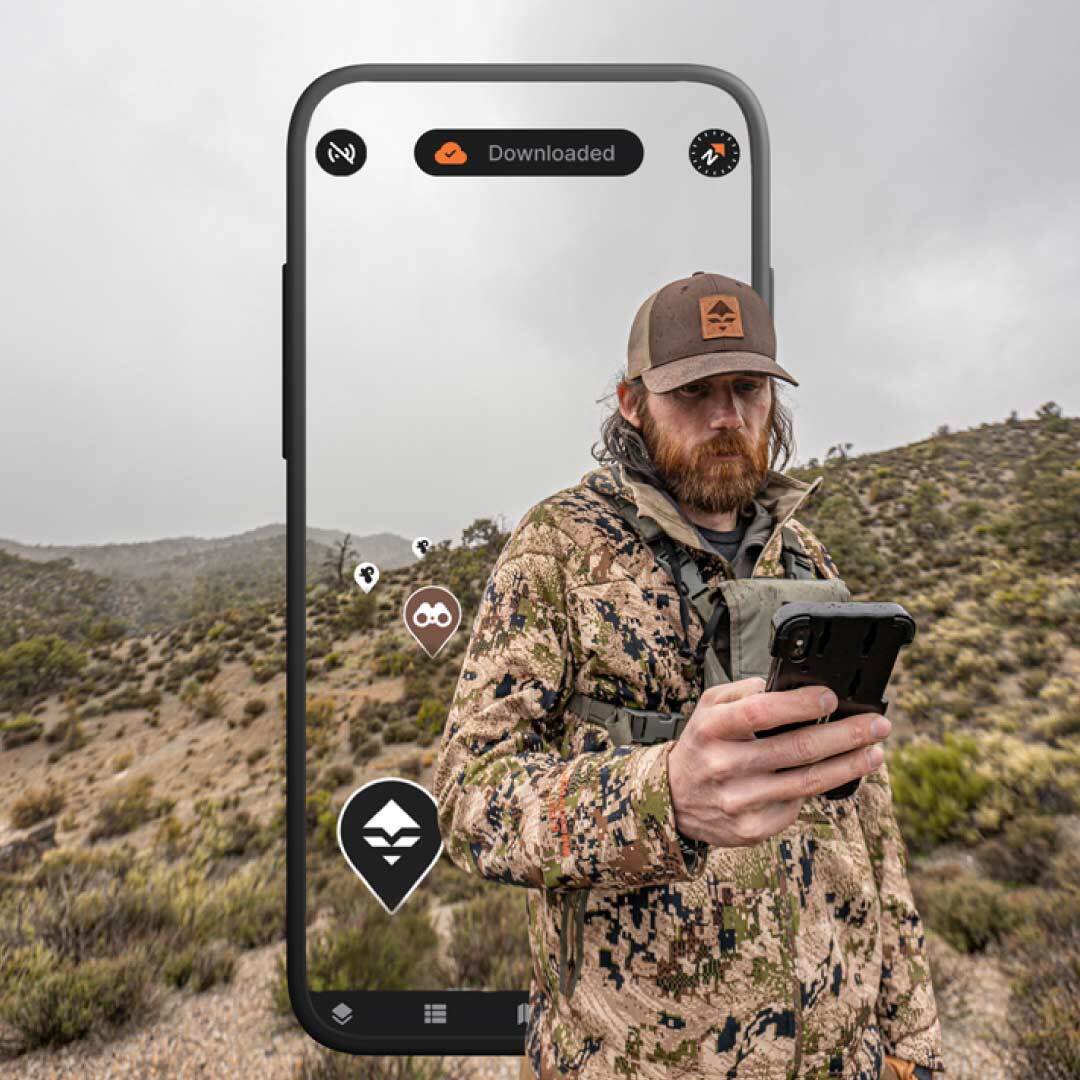
Ever download your maps in a rush, only to realize you forgot the most important layers? We have. We're constantly working to re-engineer our downloads to ensure that you always get the layers you need, in the smallest size possible.
33% Smaller Download File Size 100+ Hunting Layers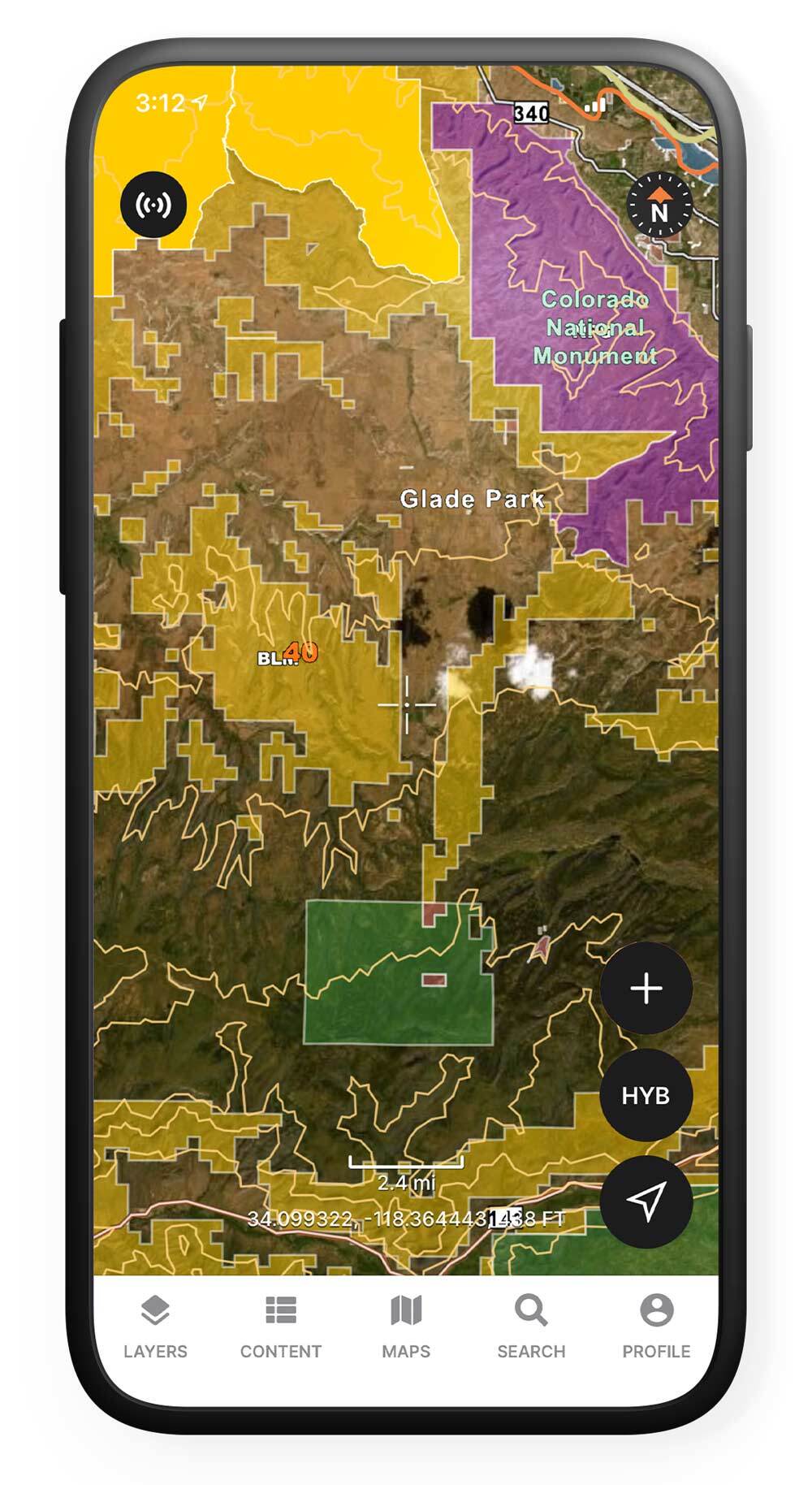
Land Boundaries
Of course we have them. We’ve compiled the most accurate, detailed land boundary maps for use at home or in the field. Public/private land, unit boundaries, park borders and more are all clearly outlined and ready for you to use.
All 50 States 6,500+ Hunt Units 1.1 Million+ Acres of Land Coverage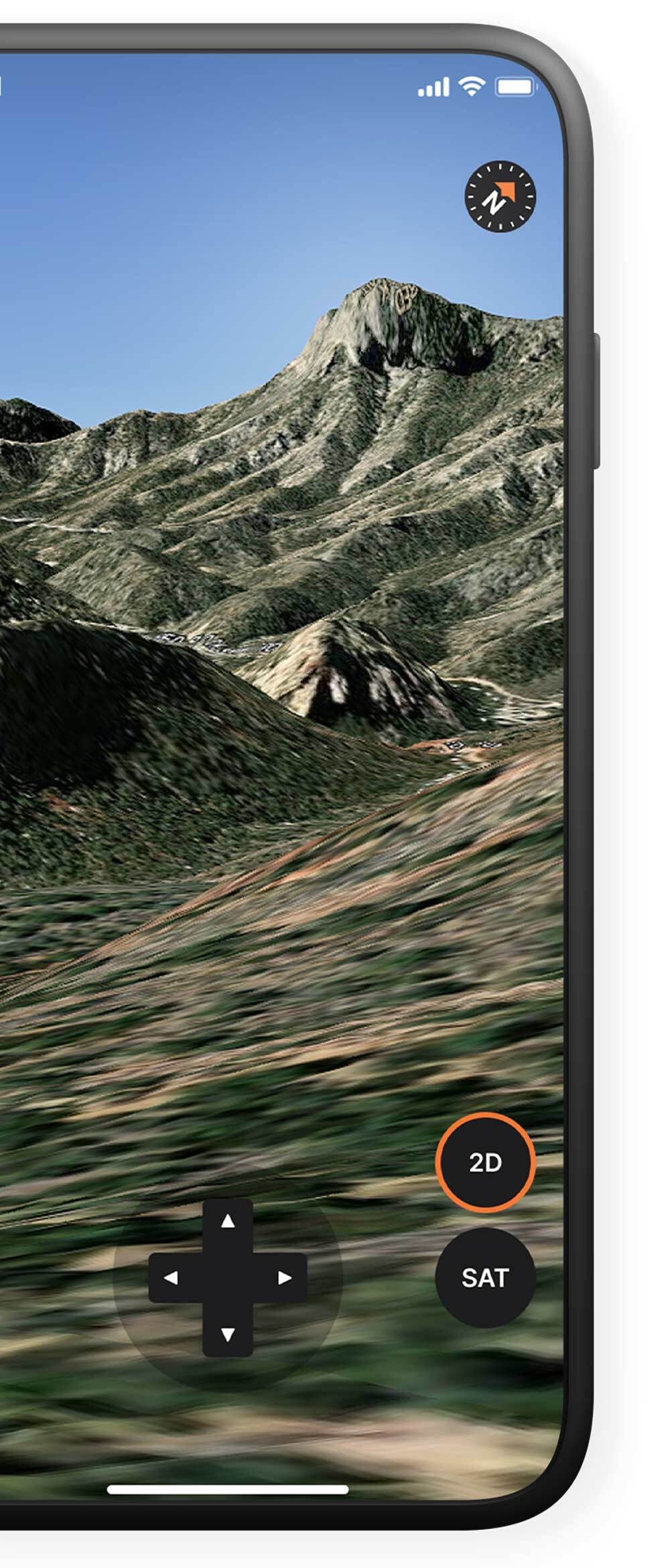
Immersive, Interactive 3D
Change your e-scouting game and know the terrain before you put boots on the ground. This is real, interactive 3D—not a locked 45° tilt that claims to be ‘3D’. Pan, tilt, and zoom around any hunting unit and use our exclusive glassing mode to find the best spots to pick before you put boots on the ground.
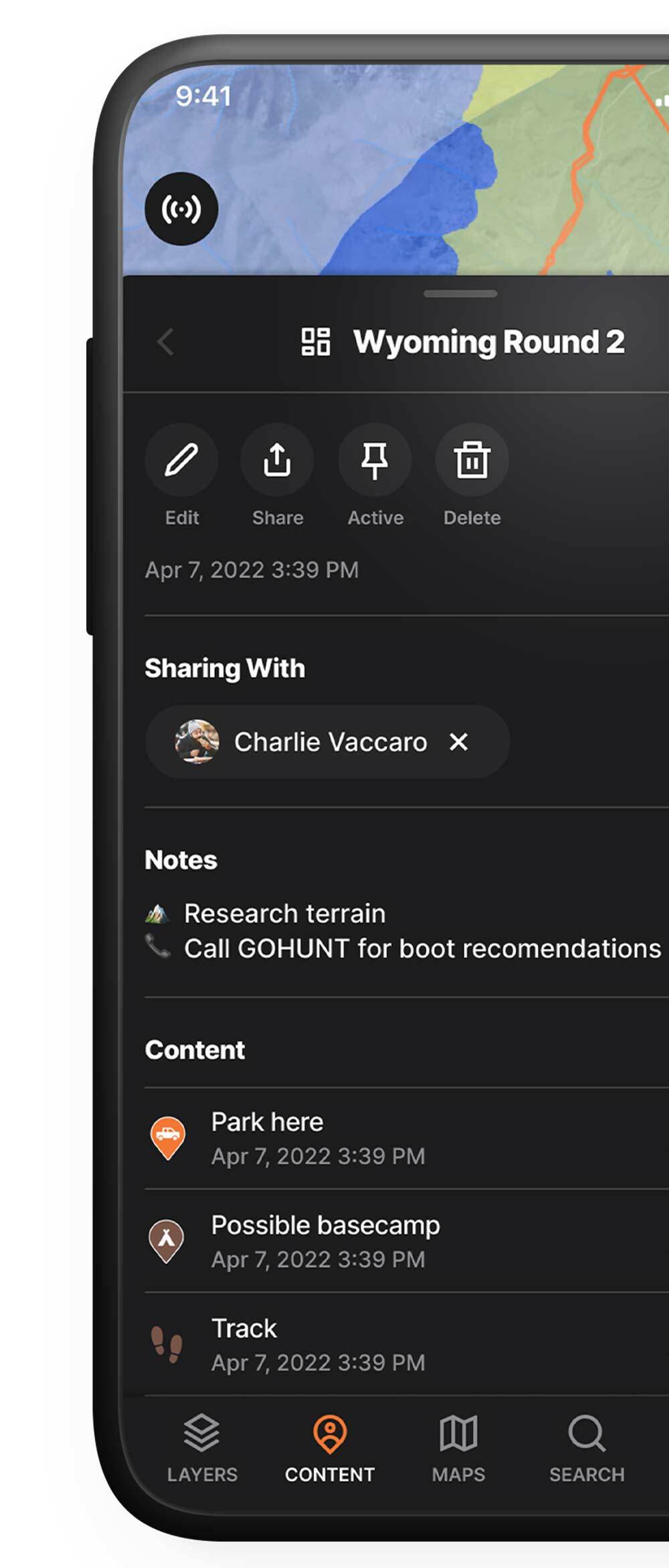
Detailed Hunt Layers, Tools, and Plans
Powerful layer tools let you quickly and efficiently get the information you need in a clear, easily recognizable way. Land boundaries, tracks, access points, water, and more. Once you’ve narrowed down the layers you need, save your data into a hunt and easily access it from anywhere.
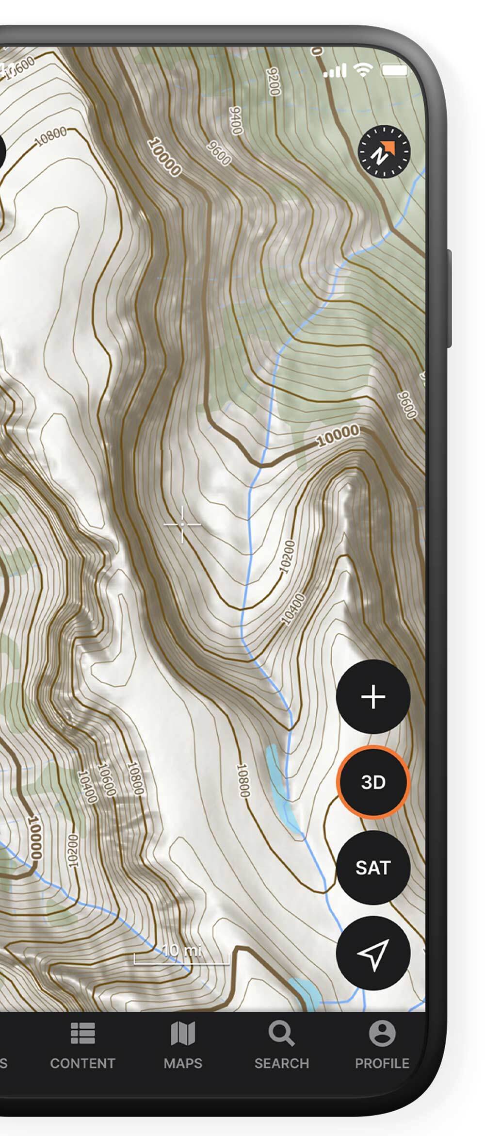
Custom Basemaps
Enhanced cartography and visualization for every detail you need for your hunt. Tree cover, contours, and more help you find the easiest, quickest, or best way in and out of your spots.
Offline Maps to Use in the Field
Ever download your maps in a rush, only to realize you forgot the most important layers? We have. We're constantly working to re-engineer our downloads to ensure that you always get the layers you need, in the smallest size possible.
33% Smaller Download File Size 100+ Hunting Layers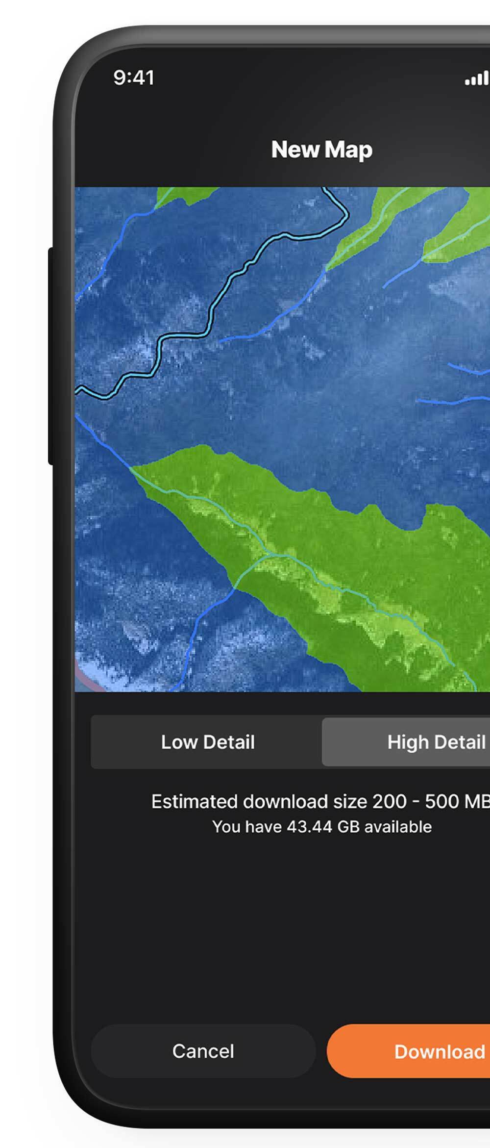
Try it today
Getting started is simple.
GOHUNT has everything you need for your hunt in one place. Transferring your data and trying our maps is fast and easy.
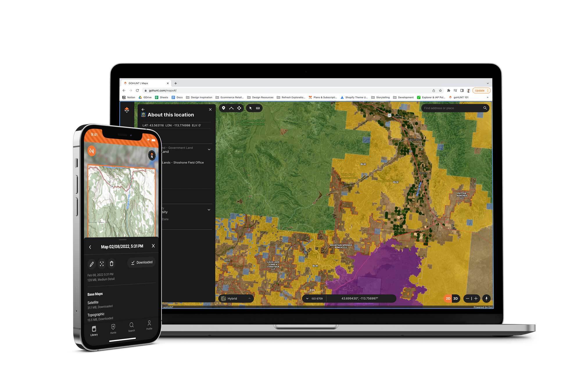
GOHUNT Maps work with all major web browsers and on iOS and Android devices. Only need maps? Compare our subscription plans and get just the tools you need.
Compare Plans
Hunters in the Know, Know.
You get even more with Insider
Tried-and-True Hunting Gear for Less
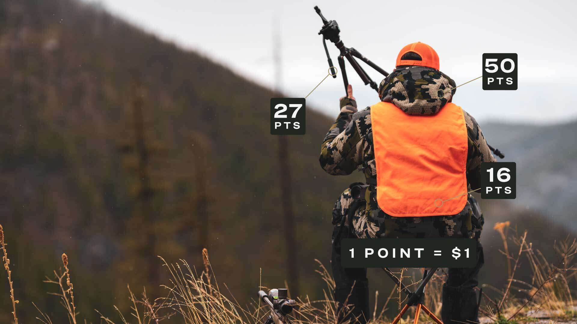
Hunting requires a lot of gear—and the wrong gear can absolutely ruin your hunt. We want you to get the best gear possible for less, so you can put your money where it really matters—going on more hunts. Our rewards program issues points (think store credit) on all eligible purchases. Points can be redeemed on a future purchase and apply to nearly anything in our store.
1 Point = $1
Points cannot be redeemed on sale items, gift cards, or gift certificates.
Track your bonus & preference points across states
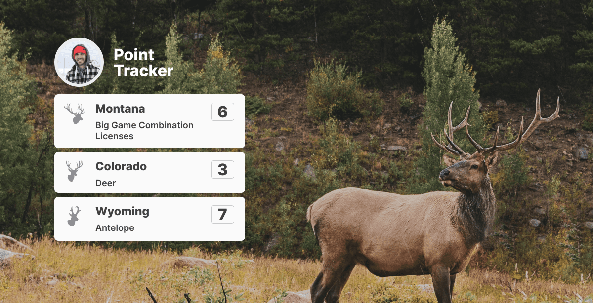
Tired of updating spreadsheets every year, or worse, using a note pad? Our preference point tracker helps you keep track of every species and state you have preference or bonus points for, all in one easy to find and update location. Your tracked points will also automatically be applied in our Filtering and Draw Odds tools.
Try Insider Free and Plan for Success this Season
All the tools you need to plan your hunt, pull a tag, scout your unit, and gear up in one place. Free for 7 days.
$12.50 / month after trial completionBilled Annually at $149 / Year


